
Automobile Association
Libro: AA Road Atlas Spain & Portugal
Libro: AA Road Atlas Spain & Portugal
No se pudo cargar la disponibilidad de retiro
| Formato | Tapa Flexible |
| Número de páginas | 336 |
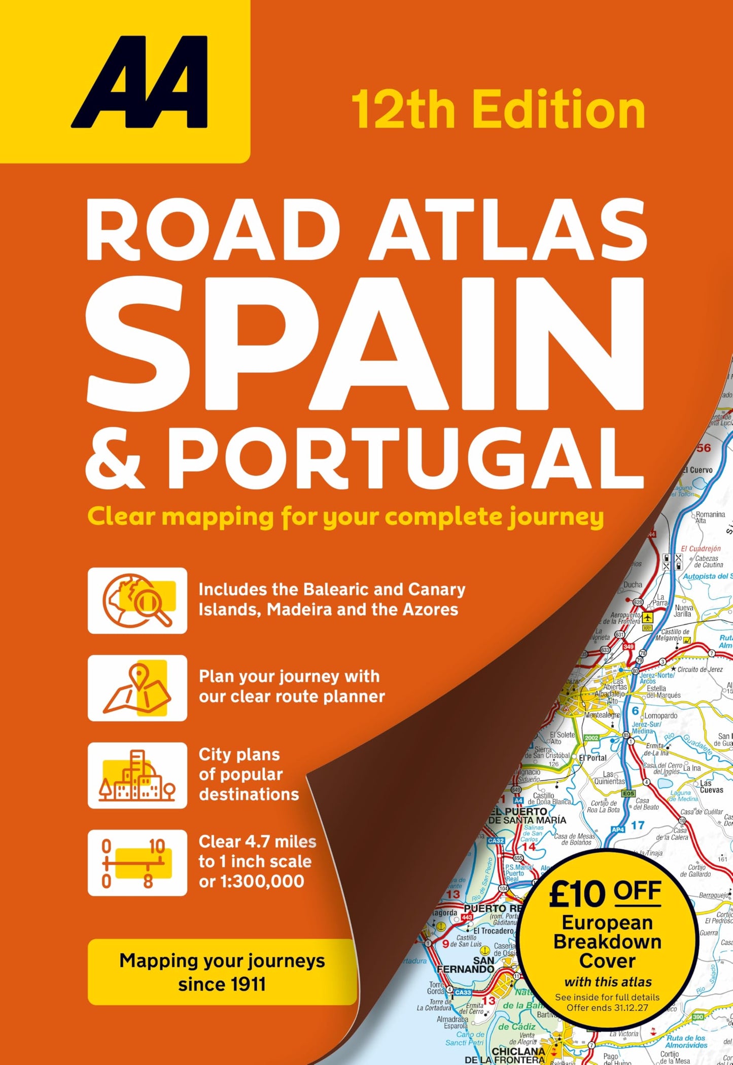
AA Road Atlas Spain & Portugal
Main Features: Clear detailed road mapping of Spain and Portugal Scale: 1:300,000 scale (5 miles to 1 inch) 50 city street plans and 10 large scale approach maps. Distance chart and travel information Map legends and page title in 12 European languages Includes the Balearic and Canary Islands, Madeira and The Azores £10 off European Breakdown cover offer
Content:
A new edition of this A4 flexi bound large scale atlas, provides essential mapping for driving through Spain and Portugal, including petrol stations, service areas and toll motorways. There is a helpful 4-page route planner with ferry routes and distances.
Fully updated with mapping produced by leading European cartographers MairDumont, the detailed mapping is perfect to help you navigate on your trip. Relief / hill shading is shown throughout the main mapping which features points of interest including hotels, spas, campsites, golf courses and world heritage sites. National parks and scenic routes are also highlighted. A comprehensive place name index accompanies each map section. Distance chart and travel information, map legends and page title in twelve European languages.
Share
Provetodo - provedor integral
🇨🇱 Chile: Duble Almeyda 5595, Of. 904, Ñuñoa, Santiago
🇵🇪 Perú: PEFRED S.A.C, Chancay 32, San Juan de Lurigancho, Lima 1542
+56991709189
© 2026 Provetodo. Todos los derechos reservados.